UN
2 Ashfield
£ 155,000
Description
We don't have a Description for this property.
- Bedrooms
- 3
- Bathrooms
- 0
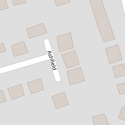
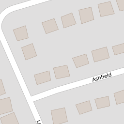


Leaflet © OpenStreetMap contributors
The heatmap indicates the level of crime in the area. The color of the heatmap indicates the crime severity and recency.
Metrics Year-on-Year
- Average area value
- 429,998.00 £Increased by 37.13 %
- Average area rental value
- 1,375.00 £/moIncreased by 35.47 %
- Est rental Yield
- 3.84 %Decreased by 1.03 %
- Crime Rate
- 13.00 %Unchanged by 0.00 %
from 313,567.00 £
from 1,015.00 £/mo
from 3.88 %
from 13.00 %
Nearby Schools
| Name | Type | Ofsted | Distance |
|---|---|---|---|
| Fulwood, St Peter'S Church Of England Primary School And Nursery | Voluntary Aided School | Outstanding | 0.29 KM |
| Lancashire Education Medical Services | Miscellaneous | 0.69 KM | |
| St Clare'S Catholic Primary School, Preston | Voluntary Aided School | Good | 0.76 KM |
| Corpus Christi Catholic High School | Voluntary Aided School | Good | 1.18 KM |
| Sherwood Primary School | Community School | Outstanding | 1.25 KM |
Images
Nearby Streets
| Name | Average Price | Average Sqft | Distance |
|---|---|---|---|
| Teal Avenue | £ 410,995 | 0 | 0.00 KM |
| Kestrel Road | £ 394,995 | 0 | 0.00 KM |
| Diver Road | £ 0 | 0 | 0.00 KM |
| Heron Drive | £ 430,662 | 0 | 0.00 KM |
| Jackdaw Lane | £ 367,500 | 0 | 0.00 KM |
Nearby Transport
| Name | NLC | TLC | Distance |
|---|---|---|---|
| Preston (Lancs) | 2753 | PRE | 4.43 KM |
| Lostock Hall | 2689 | LOH | 8.33 KM |
| Bamber Bridge | 2561 | BMB | 9.28 KM |
Nearby Listings
| Address | Price | Type | Score | Distance |
|---|---|---|---|---|
| Ashfield, PRESTON, Lancashire, PR2 | £ 195,000 | BUY | 7 / 10 | 0.00 KM |
| Longley Close, Fulwood, Preston | £ 169,950 | BUY | 6 / 10 | 0.08 KM |
| Longley Close, Fulwood, Preston | £ 54,950 | BUY | Unknown | 0.08 KM |
| Longley Close, Fulwood, Preston | £ 54,950 | BUY | Unknown | 0.08 KM |
| Longley Close, Fulwood, Preston, Lancashire, PR2 9TB | £ 125,000 | BUY | 7 / 10 | 0.09 KM |
Nearby Properties
| Address | Price | Distance |
|---|---|---|
| 22 Ashfield | £ 146,500 | 0.00 KM |
| 28 Ashfield | £ 136,000 | 0.00 KM |
| 15 Ashfield | £ 160,000 | 0.00 KM |
| 30 Ashfield | £ 135,000 | 0.00 KM |
| 25 Ashfield | £ 122,000 | 0.00 KM |